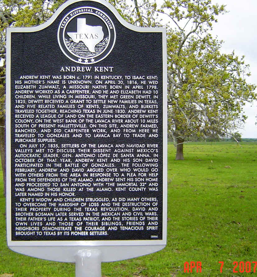
SONS OF DEWITT COLONY TEXAS DeWitt Colonist Andrew
Kent
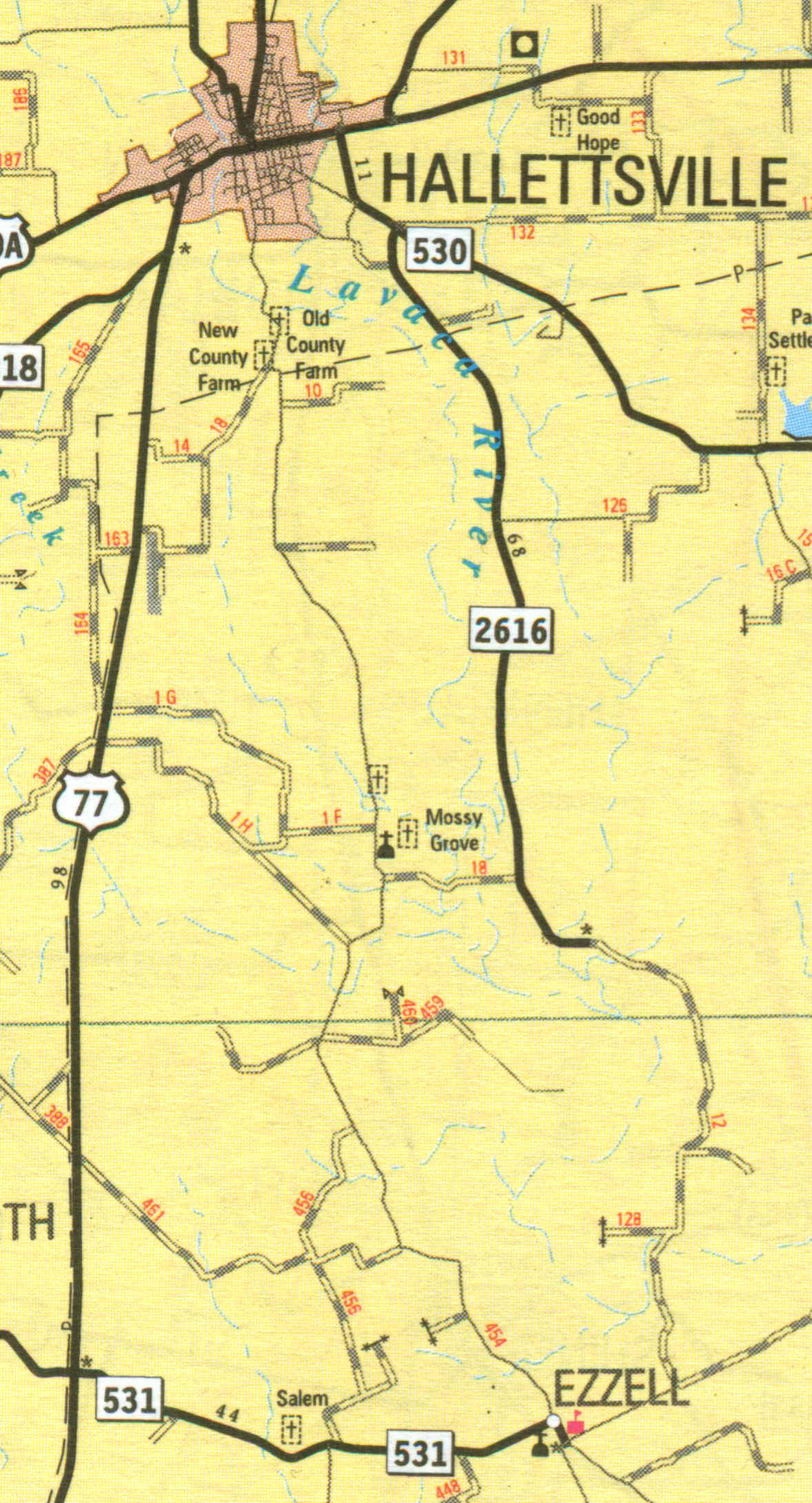
Despite an unusual cold front for April in Texas, armed with information from long term Kent family historian Chester Wilkes, we headed the 100 miles from Houston down highway 59 and alternate highway 90 at Rosenberg through the Goose Capital of the World, Eagle Lake to Hallettsville (established 1838 by Margaret Hallet, widow of Austin colonist John Hallet). At Hallettsville US highway 77 south and a number of smaller state and county roads head south into the heart of the Lavaca County part of the former DeWitt Colony.
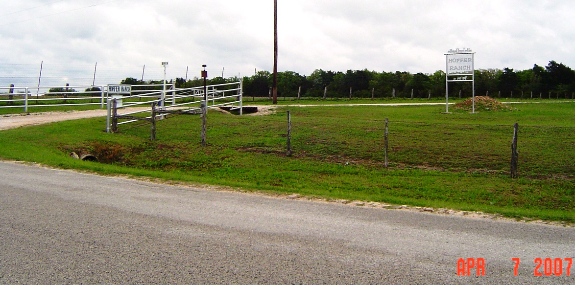
For a countryside tour from start to finish down through the heart of the Lavaca County part of the DeWitt Colony, some of its most colorful colonists and current spring countryside, take Lavaca County Road (LCR) 1 by turning south on South Main St. off Alt 90 in Hallettsville. LCR1 generally follows the old wagon road that follows the west side of the Lavaca River all the way into Jackson County and Lavaca Bay. About 6.5 mi south on LCR1 is the Mossy Grove area now distinguished by the Mossy Grove Methodist Church and Cemetery. After return of residents who fled in front of the invading Mexican Centralist armies under General Santa Anna in spring 1836 after Texas became independent due to the win at San Jacinto, the area became known as the Zumwalt Settlement after Captain "Black" Adam Zumwalt whose homeplace was nearby on the Lavaca River. Captain Adam Zumwalt is thought to be a first cousin of Andrew Kent's wife, Elizabeth Zumwalt. The region on the river a little northeast of Mossy Grove at the crossing of the old San Felipe-Gonzales-San Antonio and the Victoria-Columbus roads became the Petersburg community in 1846, one time county seat of Lavaca County. Mossy Grove can also be easily accessed by traveling south down State Road 2616, turning west on LCR18, crossing the Lavaca River and joining LCR1 at Mossy Grove. If one continues south on LCR1 about 2.25 mi passing the crossover of LCR459 at about 1 mi south, just past the junction of LCR456 to the west is the well-marked and sometimes gated Hoffer Ranch private road to the east (pictures below). This point is the north boundary of the Kent league. The Hoffer's are current owners of land on the Kent league and from names of businesses and land tracts in Hallettsville and surrounding areas, an influential family on the business and economy of the local area. According to Chester Wilkes, the family are very friendly to those with historic interest about the land. However, one should be reminded that the property is private land and apparently leased for both hunting and mineral rights according to signage. View of LCR1 to the north, LCR456 turns
west at left. Hoffer Ranch road
above left to right and below.
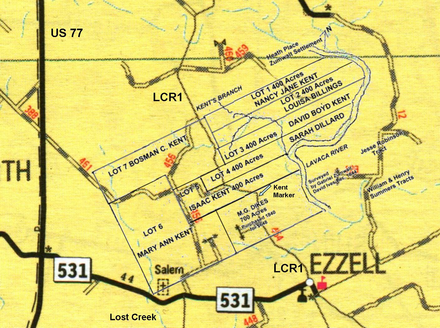
The Kent
League and Tracts Distributed to Heirs After His Death
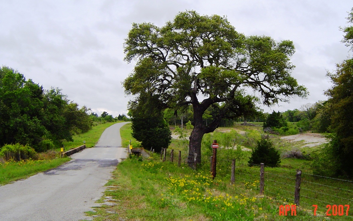
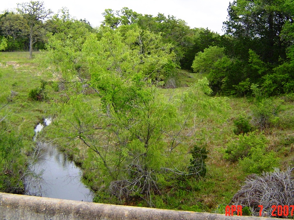
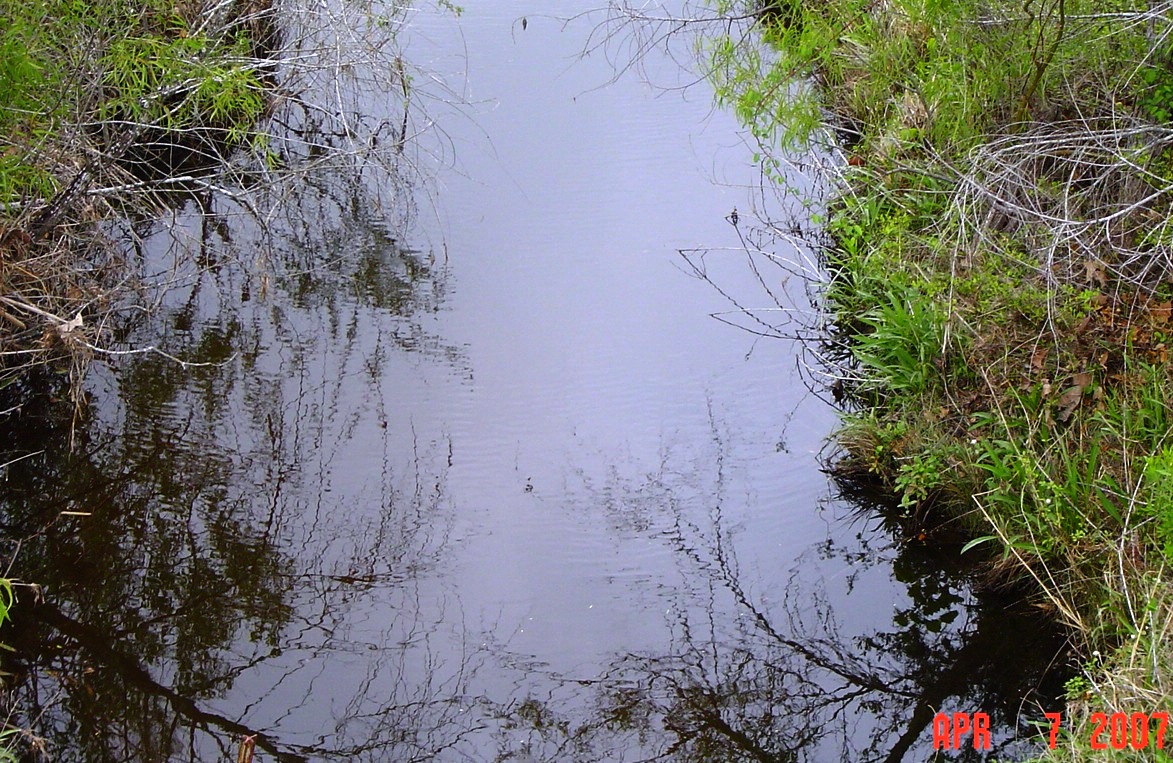
About 0.3 mi further south on LCR1 is the bridge over Kent Creek (Branch) which runs from the north boundary of the Kent league to the Lavaca River that ran on its east boundary. Given that we are now in the 21st century over 170 years since Andrew Kent and family settled on the property, the water in Kent Branch was surprisingly clear and looked fit to drink (although not recommended without purification). The waterways including Lost Creek on the east that ran into the Kent league emphasize the importance and foresight of the Empresario system of distribution of land grants and settlement of Texas under the local government of Coahuila y Tejas. Left: Looking north on LCR1 over Kent Creek
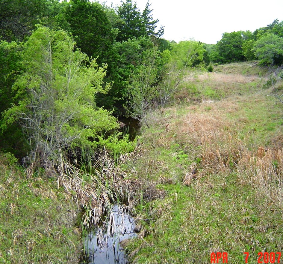
bridge. Right: Looking east over Kent Creek from the bridge. Left: Looking west from the bridge. Kent
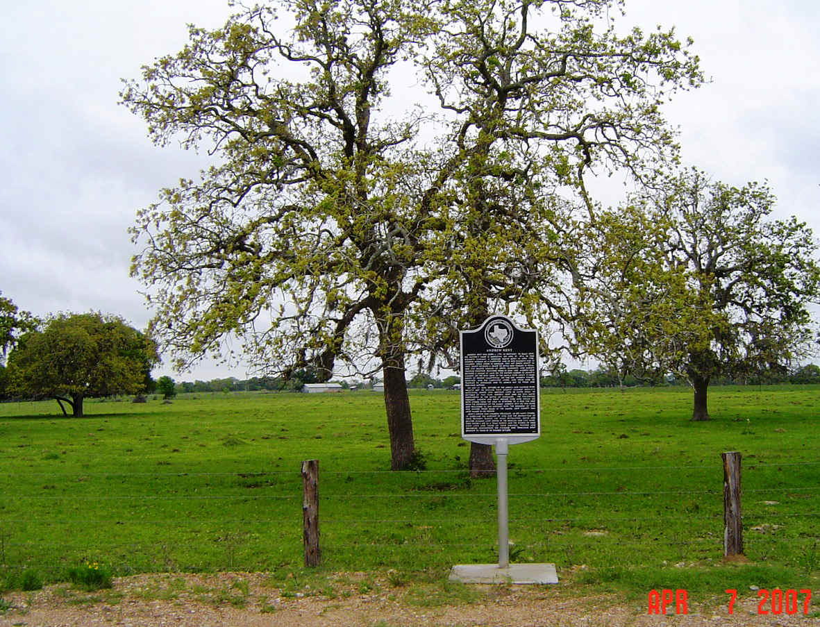
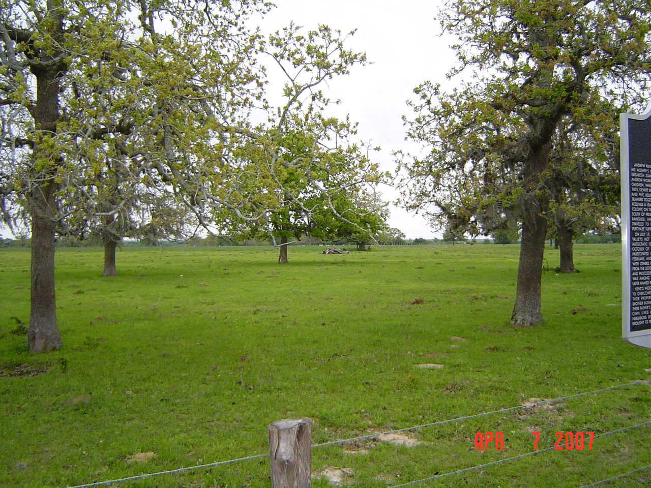
Creek water looking east from the bridge. Just south of the Kent Creek bridge above is a private road that goes east. The gate is at the junction of the 400 acre plots of the Kent league that were distributed to children David Boyd and Louisa Kent Billings after Andrew Kent's death. Continuing south on LCR1 there is another creek that crosses the road just before the junction of LCR451 to the west on the 400 acres alloted to daughter Sara Kent Dillard. LCR1 then veers east onto the Isaac Kent allotment and again sharply to the south. About 0.3 mi from the junction of LCR451 and LCR1 on the east side of the road is the Andrew Kent roadside historical marker on the part of the league sold to M.G. Dikes in 1840. Views east, particularly northeast (below) are thought to be the area where the original Kent homesite in 1835 may have stood because of the high ground near the river, but protected from flooding which the Kent and Zumwalt families were well experienced with back home in Missouri on Cedar Creek which suffered from backup from the Missouri River. The original Kent homesite was said to have been near the old wagon road that ran to the coast along the west side of the Lavaca River that is now LCR1. The original Kent homesite was burned by the Mexican Army after the Alamo defeat in 1836. Elizabeth Zumwalt and family returned to rebuild presumably on the same or similar site in 1837 and lived there until her marriage to Joseph Kent in 1839. Looking east and northeast from LCR1 across the Kent
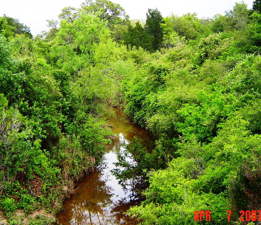
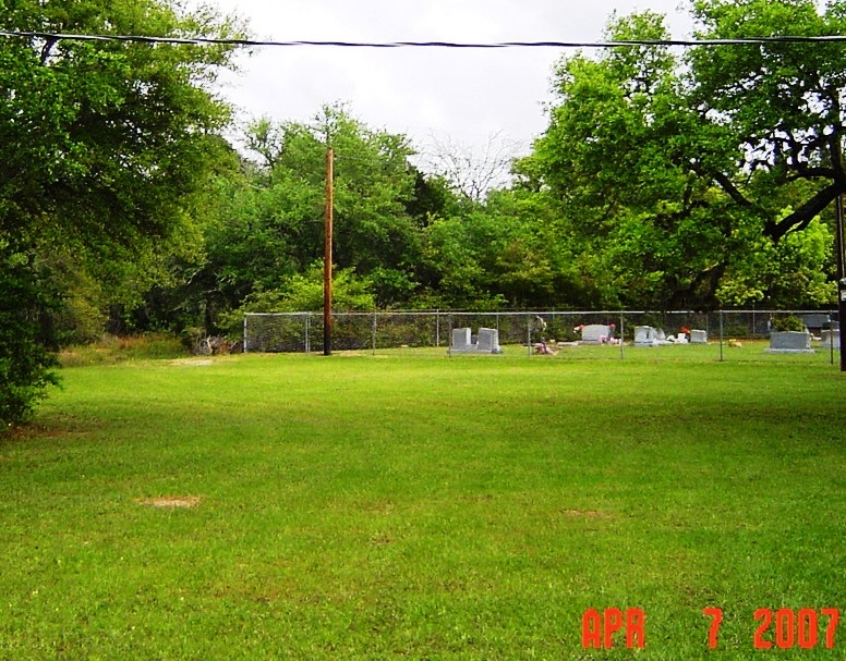
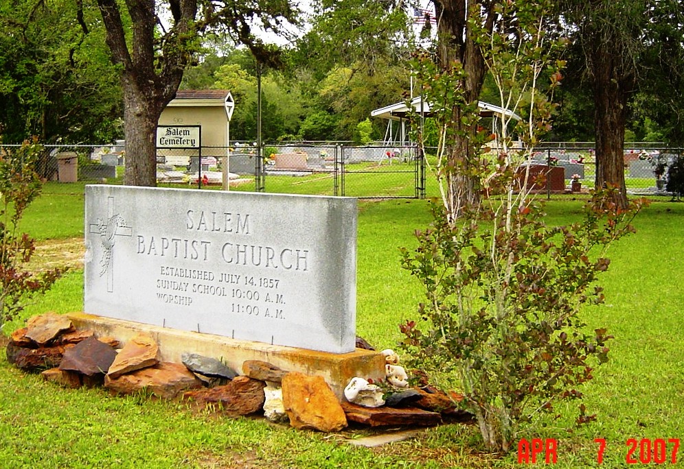
land towards the Lavaca River. The Kent historical marker is about 2 mi north of State Highway 531 at Ezzell on LCR1. An alternative route to the historical marker and the reverse northern trip up to Mossy Grove and Hallettsville on LCR1 from Ezzell with a side trip to view other parts of the Kent league is as follows: Take US 77 south beginning just west of Hallettsville off alt 90. At about 5 mi south on 77 is the Rocky Creek Bridge. About a mi south of the bridge LCR451 turns off southeast onto Bosmon Kent's plot of the original Kent league, the road then curves east and crosses Water Hole Creek that at the time of settlement in the 1830's was a branch of Lost Creek running north along the west boundary of the league. The road runs east on the boundary of Bosmon and Mary Ann Kent's 400 acre plots of the league. LRC451 crosses LRC456 after that and continues to intersect LRC1 north of the Kent marker. A turn on LRC456 south will lead to State Highway 531 near Salem Church and cemetery. Salem Baptist Church and cemetery are quaint old country sites and worth a stop. An alternative route to Salem Church and cemetery is to travel further south on US 77 to the junction of highway 531 (10 mi from Hallettsville), turn east on 531, cross Waterhole (Lost) Creek (shown below), and the church is on the left. The northwest corner of the cemetery fence (shown below) is the southwest corner of the Kent league. The west boundary runs northwest from that point and the south boundary runs northeast along the fence. Continue east on 531 until it intersects with LCR1 at Ezzell. Left: Waterhole (Lost) Creek north from
531. Right: Northwest corner Salem Cemetery fence.
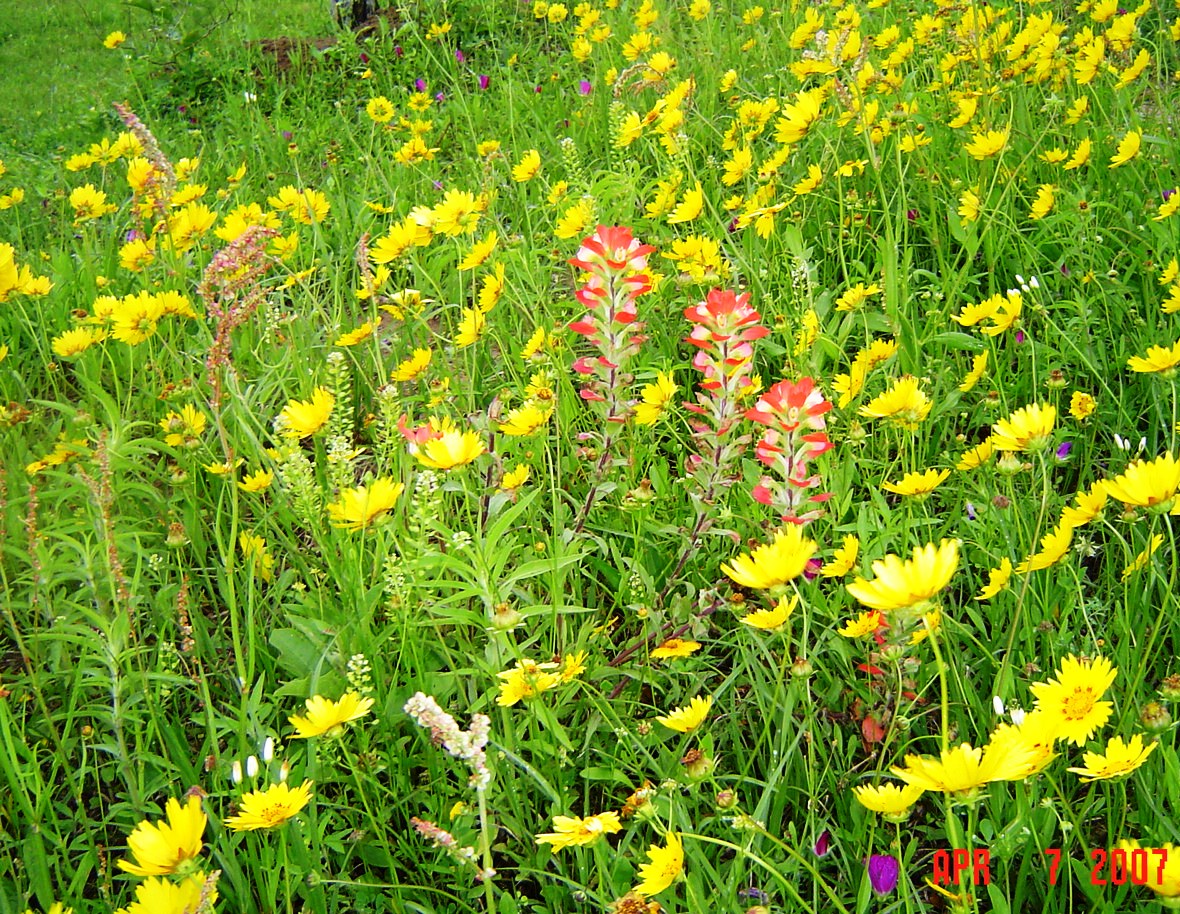
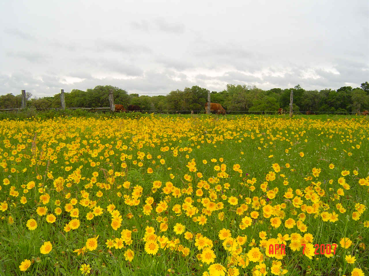
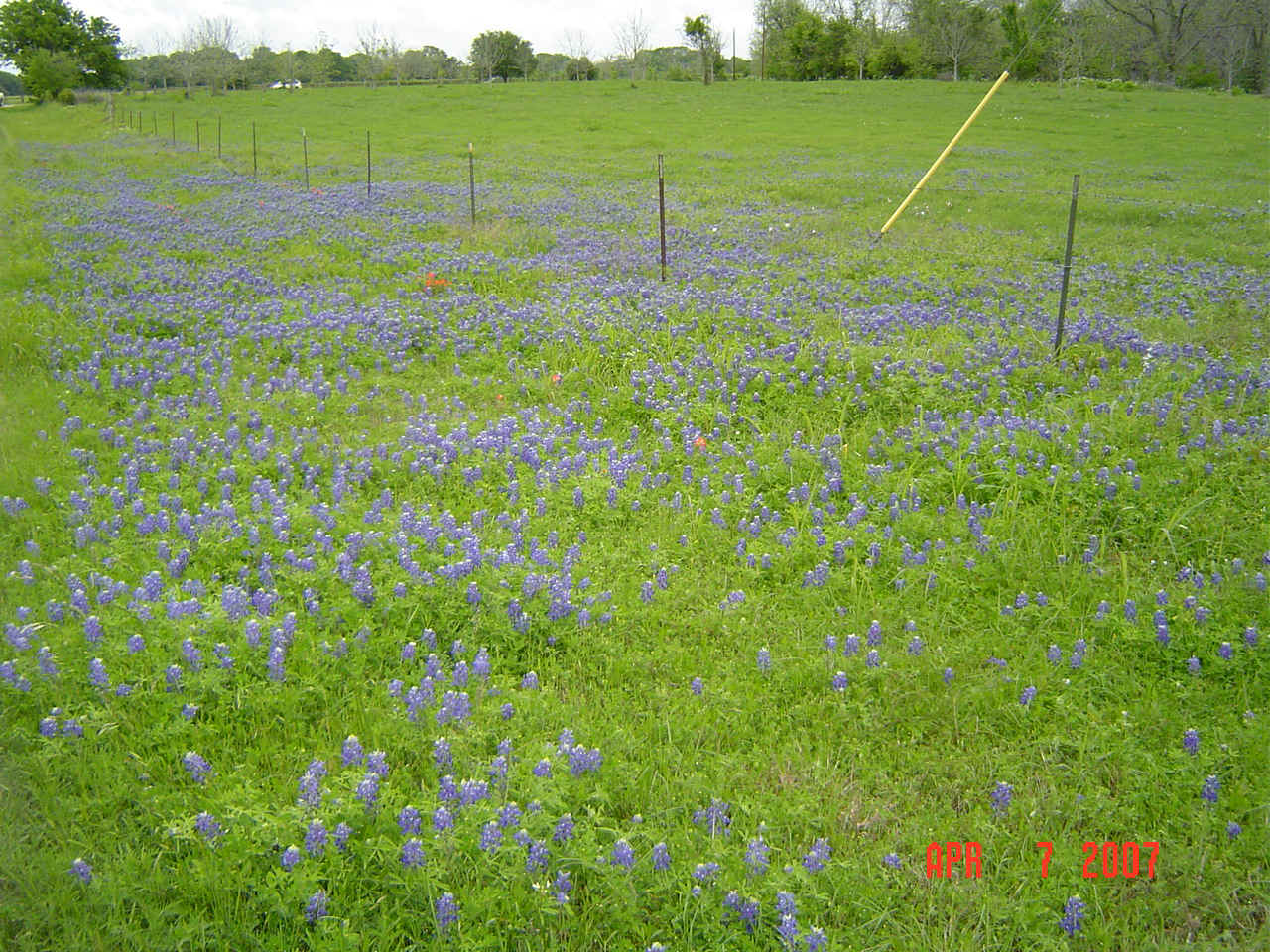
Wildflowers and scenery on LCR1 and side roads were intense as shown above. Deer were sited in the more dense wooded areas which probably represent what the area was generally like in the 1830's with only small plots of cleared pasture. Wildflowers off LCR1 at Mossy Grove (left) and further
south.
The five related families Burket, Kent and Zumwalt who settled lands in Gonzales, Lavaca and Fayette County areas who came to the DeWitt Colony from Missouri in 1829 are the subjects on which the Sons of DeWitt Colony was initiated and expanded.
**************************
SONS OF DEWITT
COLONY TEXAS |
 Fortunately the
heaviest rain of the front was further east and the day was relatively dry with blistery
winds and temperature hovering just around 40.
Fortunately the
heaviest rain of the front was further east and the day was relatively dry with blistery
winds and temperature hovering just around 40. 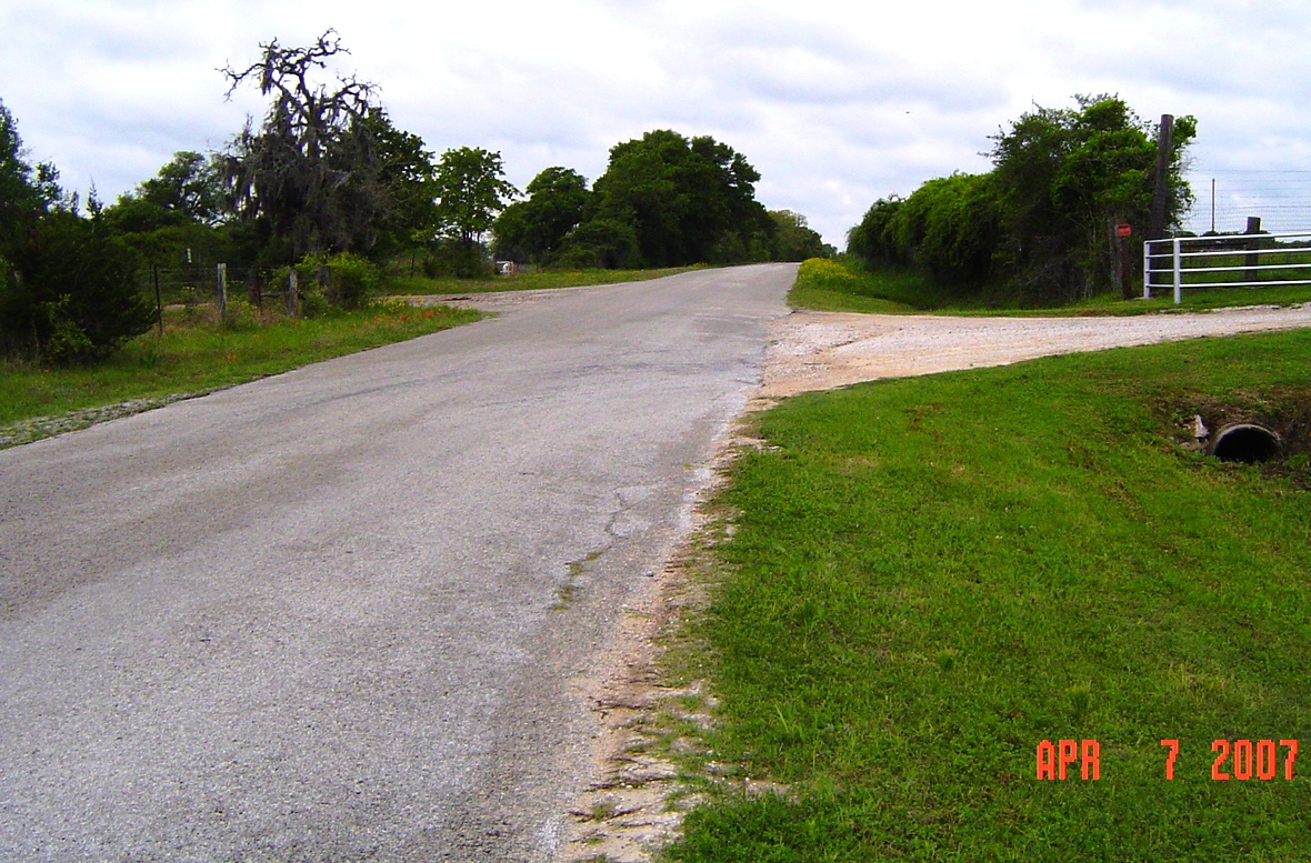
 The trip included
other DeWitt Colony sites from Hallettsville to Sweet Home, Yoakum, Cuero, Concrete,
Hochheim, the Guadalupe River crossing on US 183 and back, a total of about 250 mi
roundtrip from Houston. The area is considered a
The trip included
other DeWitt Colony sites from Hallettsville to Sweet Home, Yoakum, Cuero, Concrete,
Hochheim, the Guadalupe River crossing on US 183 and back, a total of about 250 mi
roundtrip from Houston. The area is considered a